
Getting there Sumba travel guide
Sumba has two airports, a handful of sea links and long distances between them. Choosing the right gateway saves hours on the road.
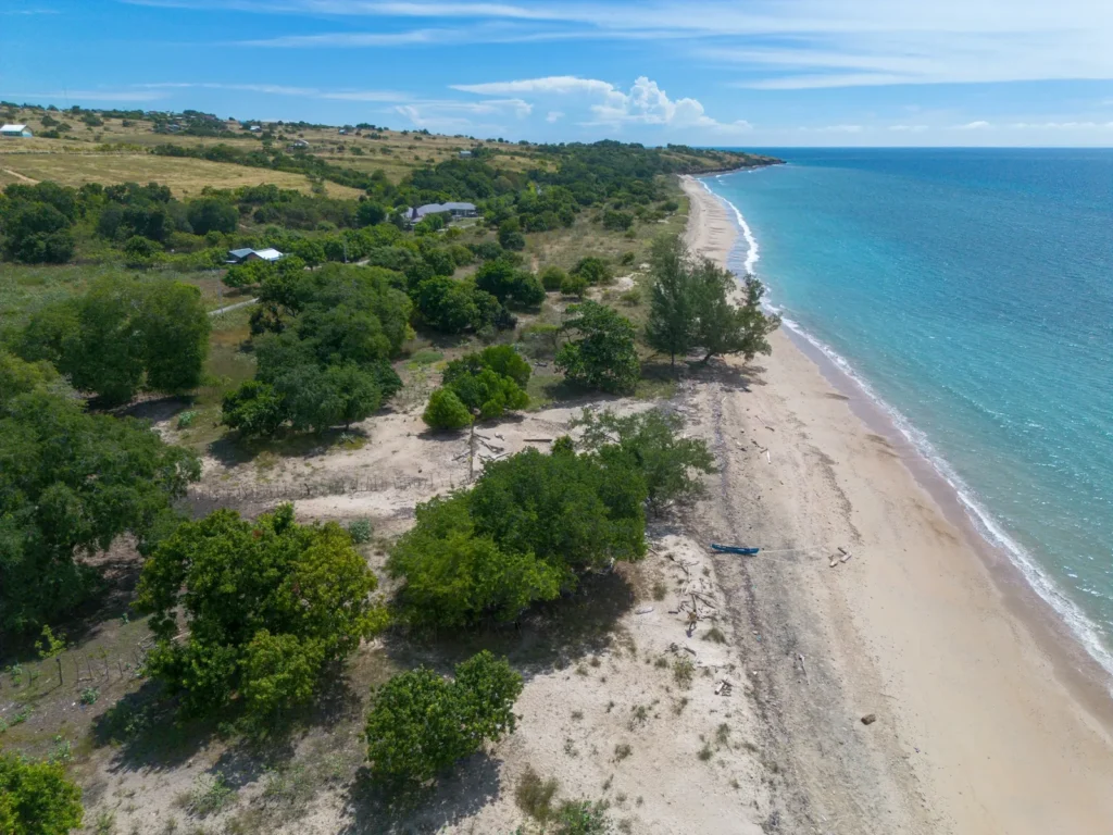
Sumba sits south of Flores and east of Sumbawa, in the province of East Nusa Tenggara. It is larger than many first-time visitors expect, and most of its roads outside the towns are rural. The island is divided into four regencies: West Sumba, with its capital at Waikabubak; Southwest Sumba, centred on Tambolaka; Central Sumba; and East Sumba, whose capital is Waingapu. Most of the land we list is in West Sumba and Central Sumba, so this guide focuses on getting to the western half of the island and moving around once you are there.
Flying into Tambolaka (west)
Tambolaka's airport, officially Lede Kalumbang Airport (code TMC), is in Southwest Sumba about 5 kilometres from Tambolaka town. It has a 2,300-metre runway and is the usual gateway for the west of the island, including Waikabubak, Wanokaka and the Rua coast.
Airlines listed as serving Tambolaka include Batik Air and NAM Air from Denpasar, NAM Air from Kupang and Surabaya, and Wings Air from Kupang and Labuan Bajo. Routes and frequencies change, so check current schedules on airline websites or a booking platform before you plan the rest of your trip. From Lombok, the simplest option is usually to connect through Denpasar.
Flying into Waingapu (east)
Waingapu (code WGP) serves East Sumba. In July 2026, Bali's Ngurah Rai airport announced a new TransNusa route between Denpasar and Waingapu, operating four times a week. Waingapu is the better gateway if you are heading to the east of the island. For West Sumba, flying into Waingapu means a long drive across the island, so most land buyers looking at the west choose Tambolaka.
Central Sumba lies between the two. If you are viewing plots in both Central and West Sumba, ask our team which airport makes more sense for your schedule.
By sea: the Waikelo to Sape ferry
On 24 May 2026, ASDP Indonesia Ferry and the Southwest Sumba regional government reopened the ferry crossing between Waikelo, on Sumba's northwest coast, and Sape, in the Bima area at the eastern end of Sumbawa. The route had been out of service for a long time. It links Sumba to the overland route through Sumbawa and Lombok, which can be useful if you are travelling with a vehicle or combining Sumbawa and Sumba in one trip.
Sea crossings in this part of Indonesia are affected by weather, and timetables on less busy routes are not always published far ahead. Check the current schedule with ASDP before relying on the ferry. Other sea links connect Sumba's ports with Flores and Timor on less frequent schedules.
Combining Sumbawa and Sumba in one trip
Some buyers compare land on all three islands before deciding. Flying is the quickest way to link them: Lombok to Denpasar, then Denpasar to Tambolaka. Overland, the route runs from Lombok across the Alas Strait to Poto Tano (see our Lombok to Sumbawa ferry guide), then the length of Sumbawa to Sape, then the ferry to Waikelo. That is a long journey over several days and suits people who want to see the islands along the way rather than those with a fixed viewing schedule.
Getting around the island
Public transport on Sumba is limited, and most visitors hire a car with a driver. A local driver knows which roads are passable after rain, where to find fuel, and how to ask permission when a route crosses village land. Book through your accommodation or ask us to arrange one for viewing days.
- Roads: main routes between towns are paved, but the last stretch to many coastal plots is gravel or dirt. A vehicle with good ground clearance helps.
- Fuel and cash: fill up and withdraw cash in Tambolaka or Waikabubak. Stations and ATMs are sparse in rural areas.
- Phone signal: coverage drops in valleys and along parts of the south coast. Download offline maps before you leave town.
- Daylight: plan to finish site visits and drive back before dark. Rural roads have little lighting and livestock on the road is common.
When to visit
The dry season, roughly from May to October, is the easiest time to travel. Rural roads are firmer, and land is easier to walk and inspect. In the wet season, usually from December to March, some access roads become muddy or impassable for a few days after heavy rain. The landscape is greener then, which helps you judge vegetation and drainage, but you may need extra time between visits.
West Sumba also holds Pasola, a traditional mounted ritual, in several districts including Wanokaka, usually in February or March. It draws large crowds, so book accommodation and drivers early if your dates overlap.
Where to stay
For land in Wanokaka, Rua and Parirara, Waikabubak is the main town base, with shops, banks and simple hotels. Tambolaka has more accommodation near the airport, and there are guesthouses and resorts along parts of the coast. Choose a base that keeps daily driving to your viewing areas reasonable.
A sample viewing trip
- Day one: fly into Tambolaka, meet your driver, and travel to Waikabubak. If time allows, view one plot on the way.
- Day two: view coastal plots around Wanokaka and Rua in the morning, then inland sites in the afternoon.
- Day three: revisit your preferred plot at a different time of day, meet the landholder if appropriate, and check access in both directions.
- Day four: travel to Central Sumba for plots such as Lenang, or return to Tambolaka for your flight.
Land in Sumba often involves customary (adat) relationships as well as formal certificates. Our Sumba land buying guide and Sumba site visit checklist explain what to look at during these visits.
Why access matters for land in Sumba
Travel time is part of a property's value here. Guests, contractors, building materials and supplies all arrive through the same airports and ports, so a plot an hour from Tambolaka works differently from one three hours away. When you compare listings, note the drive from the airport and from the nearest town with shops and a clinic, and check how the last few kilometres hold up in the wet season. Our guide to road access and utilities in Sumba covers the infrastructure questions in more detail.
Travel note: Flight routes to Sumba change often. Treat the airlines named here as a starting point and confirm schedules before booking connections.
Sources
- Wikipedia: Lede Kalumbang Airport (Tambolaka)
- Antara Bali: Ngurah Rai adds routes to Waingapu and Wakatobi (July 2026)
- InfoPublik: Southwest Sumba reopens the Waikelo to Sape crossing (May 2026)
Property examples to compare
Plots you can combine on a West and Central Sumba trip include Wanokaka Land, 17,000 m², near Waikabubak, Waimangoma Land, 4,002 m², close to Rua Beach and Lenang Beachfront Land, 2,761 m², Central Sumba. Ask our team to plan the order of visits.
Planning a trip to view land in Sumba?
Send us your travel dates and the plots you want to see. We will suggest a route, a base town and local contacts for transport.
Editorial note: Travel details on this page were checked in November 2026. Flights, ferry schedules and road conditions change. Confirm with operators before you travel.
